Predicting Weather: Cloud Types
Weather forecasts can sometimes feel like some kind of wizardry, and honestly, I'm not entirely convinced that it isn't. Every time I get a notification on my phone saying "rain starting in 5 minutes", I am blown away, when, in 5 minutes time, that first rain drop falls. Understanding what the weather may be like in a specific location, and how it may change throughout the day is hugely valuable when hiking, particularly when conditions on the hills may vary from minute to minute and location to location. The ability to predict weather conditions, therefore, is one of the most useful skills a UK hiker can have.
This is to be the first of a series of blogs covering ways in which we can try to understand and predict weather conditions in the mountainous areas of the UK. Clouds are a fantastic indicator of weather, and the ability to identify different clouds is the first step.
Types
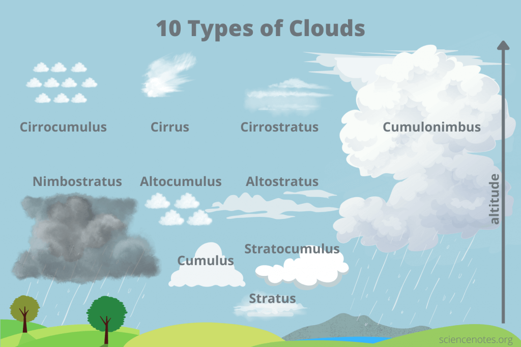
This system used to classify clouds was originally proposed by a London amateur meteorologist, Luke Howard, in 1803 and later extended by the World Meteorological Organization (WMO). There are 10 main groups, divided into three levels based on the height of their base: high clouds, medium clouds and low clouds.
Naming
Clouds are named using a combination the following latin derived terms.
- Stratus (layer) Flat, layered, smooth clouds.
- Cumulus (heap) Clumpy, or puffy clouds that look like balls of cotton wool.
- Cirrus (tuft of hair) Wispy, or threaded clouds.
- Alto (high) Medium height clouds.
- Nimbus (rain cloud) Dark clouds that bring rain.
High Clouds
High clouds usually have a base at 20,000ft or above.
- Cirrus: Whispy, short clouds that look like tufts of hair.
- Cirrocumulus: Groups of small, high, clumpy clouds. Can look like fish scales in the sky.
- Cirrostratus: Thin, highly transparent clouds that spread across the sky. The sun will usually still cast shadows through these clouds.


Medium Clouds
Medium clouds usually have a base at between 6,500ft and 20,000ft.
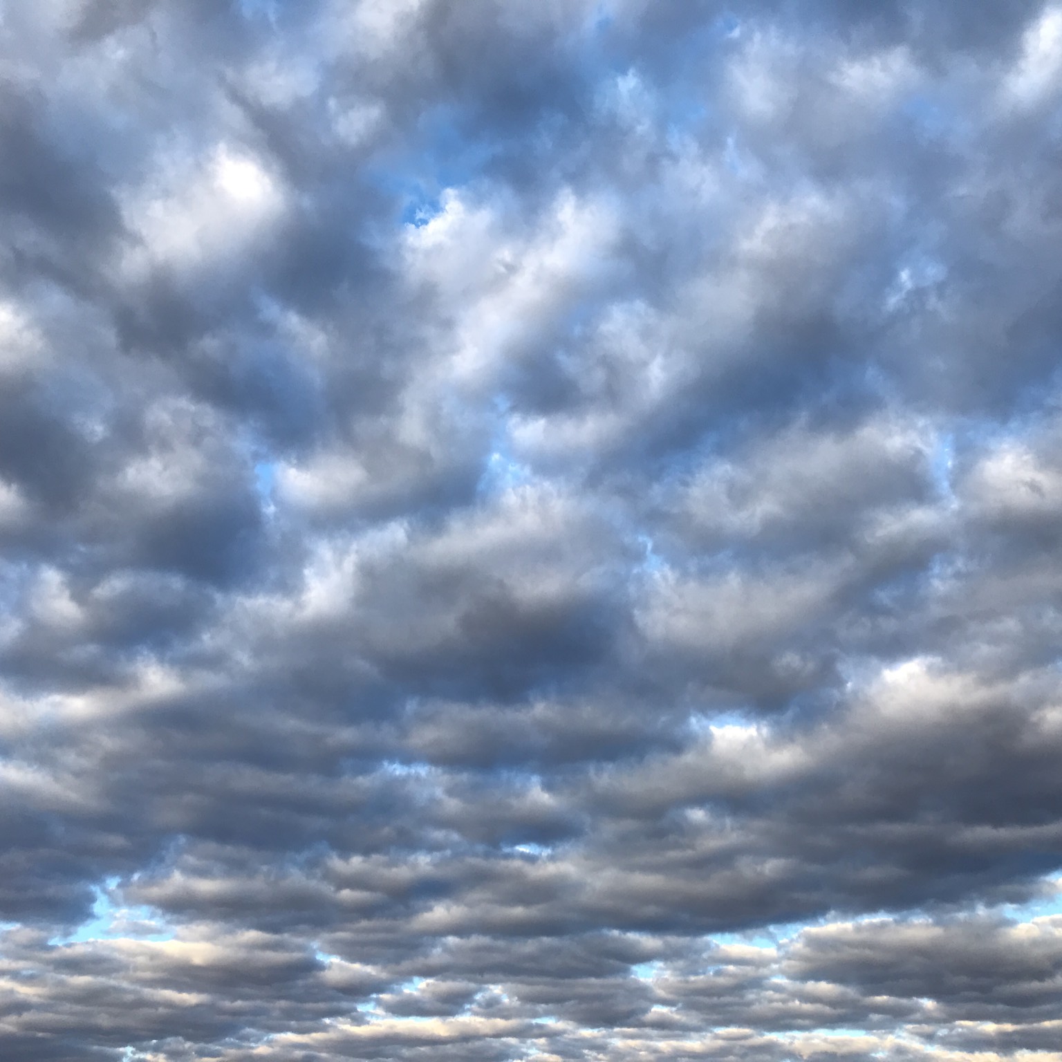
- Altocumulus: Groups of small clumpy clouds. Shading will differentiate these from cirrocumulus.
- Altostratus: Large sheets of thin cloud, mostly featureless. The sun will often be visible though them.
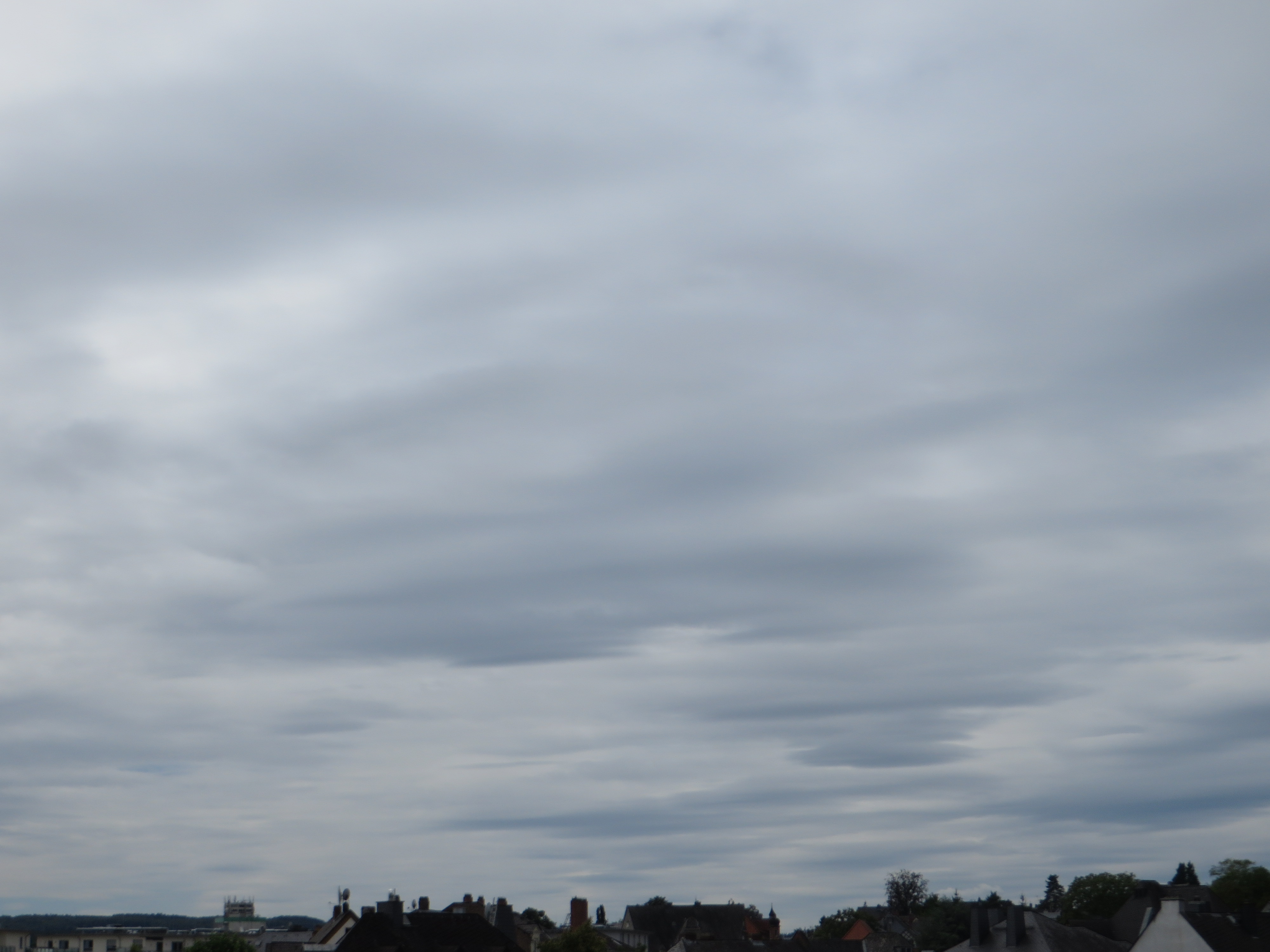
- Nimbostatus: Large dark sheets of cloud, thick enough to block the sun. Often bring rain.

Low Clouds
Low clouds usually have a base at below 6,500ft.
- Stratocumulus: Low level, clumpy clouds with well defined bases. They are the most common cloud on earth.
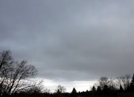
- Stratus: Low level, sheets of cloud with a uniform colour. Often the cause of dull or overcast days. Can drop low enough to cause fog.
- Cumulus: Individual, clumpy, cauliflower shaped clouds.
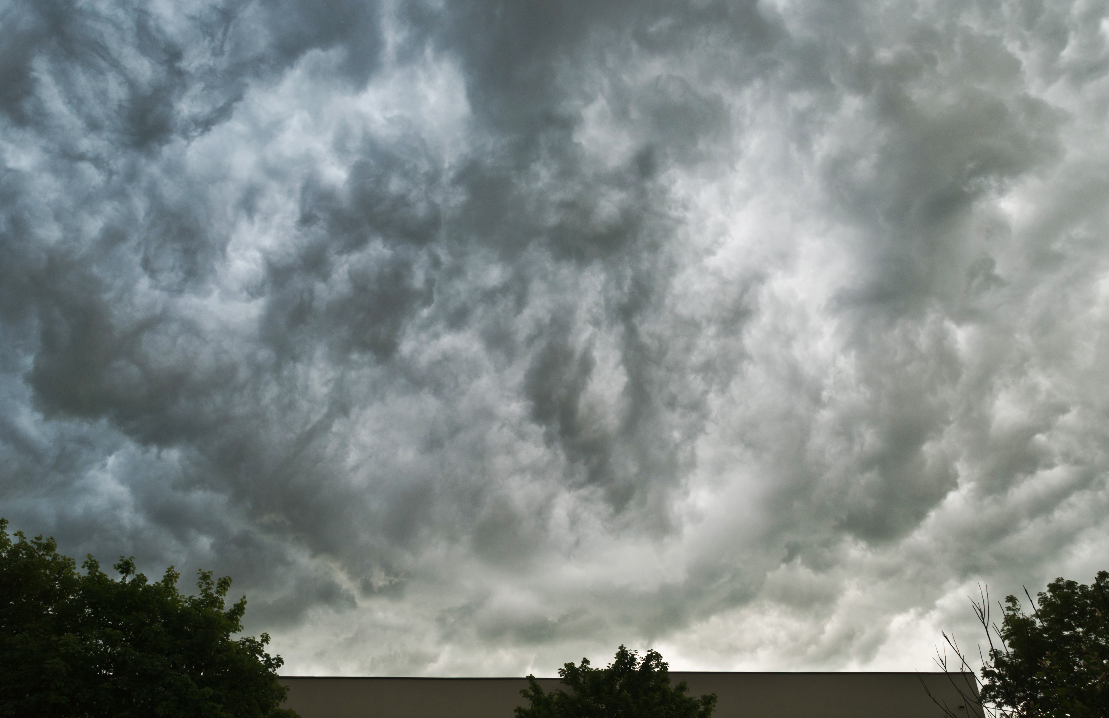
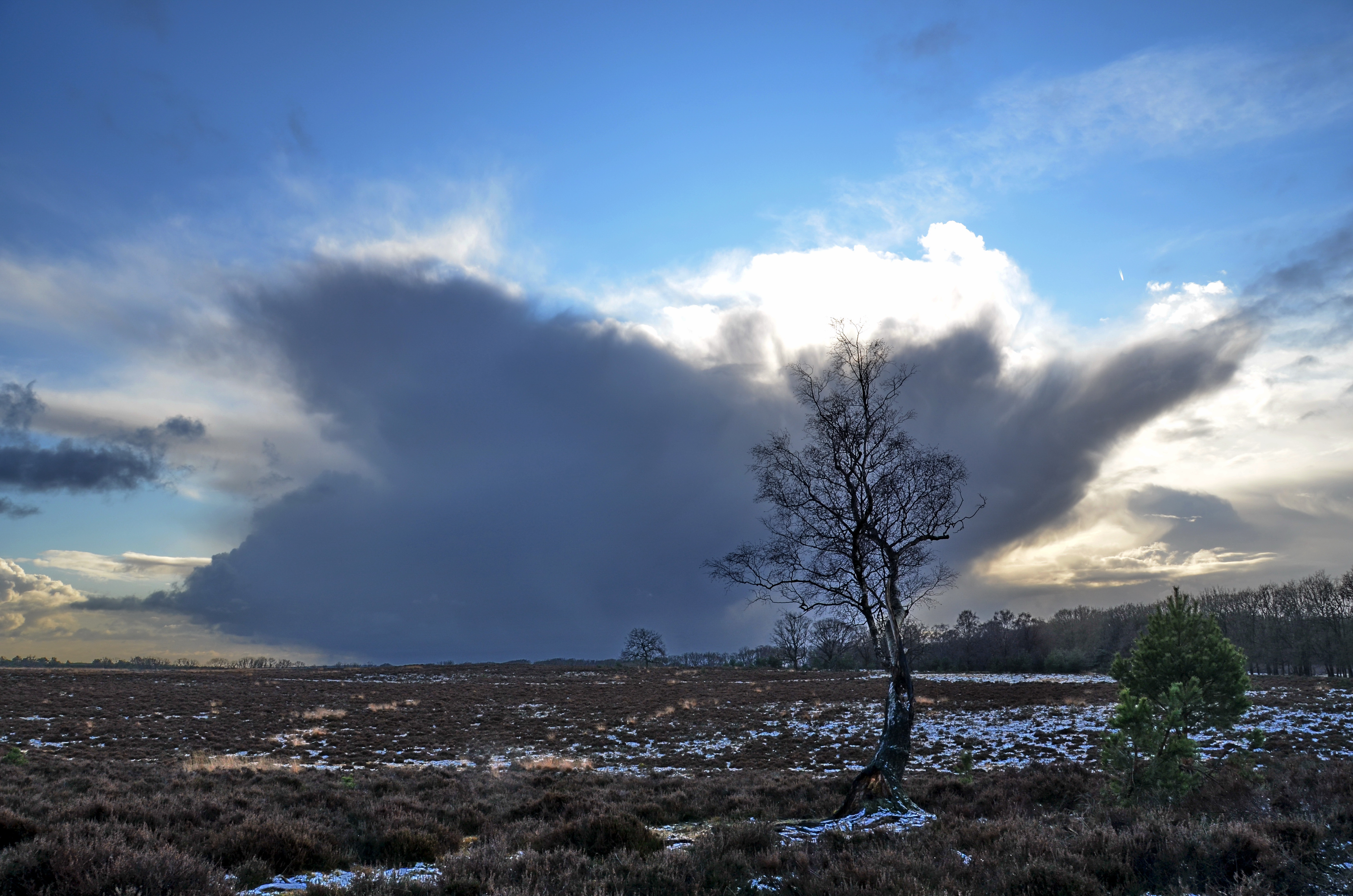
- Cumulonimbus: Big towering, dark, clouds, usually with flat bases, that extend up through the atmosphere. They bring rain, and are the clouds which can create thunderstorms.

#GoForIt
[Source]
The next time you're out and about, take a moment to look up at the sky. With a little practice, those wispy trails and puffy mounds will transform from nameless shapes into messengers of the weather. So get outside, start identifying those clouds, and gain a valuable skill that will benefit you on every hike!